Directions to the Flying Field
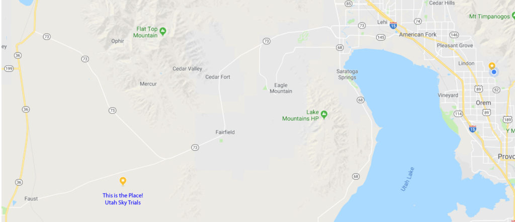
From I-15 in Lehi, Utah (exit 279) Drive west on Utah Highway 73 through Lehi, past Eagle Mountain, through Cedar Valley and the small towns of Cedar Fort and Fairfield.
Continue west on Highway 73 approximately 5 miles beyond Fairfield to the Tooele County line and look for signs for Faust and the Pony Express Trail to the west.
You will turn west off of Highway 73 as it makes a sharp turn to the North. Follow the dirt road toward Faust and down into Rush Valley. Follow this road 4.3 miles.
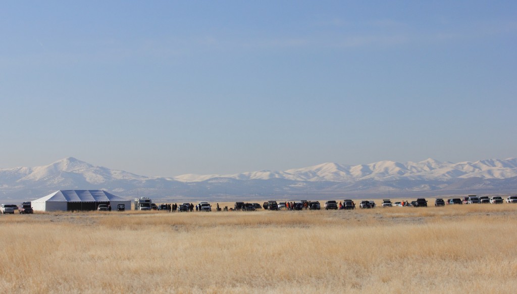
You will see a sign for the Utah Sky Trials. Turn south and proceed 2.6 miles on the dirt road to the flying field. (If you reach the Pony Express Monument on the north side of the road, you have gone too far.)
Note: It is about 65 minutes from Provo/Orem.
Note: There is a small town in Tooele County called Rush Valley. It is not there. Rush Valley is also the name of the huge expansive valley where we fly.
The yellow star is the flying field. And yes it is in the middle of no where!


